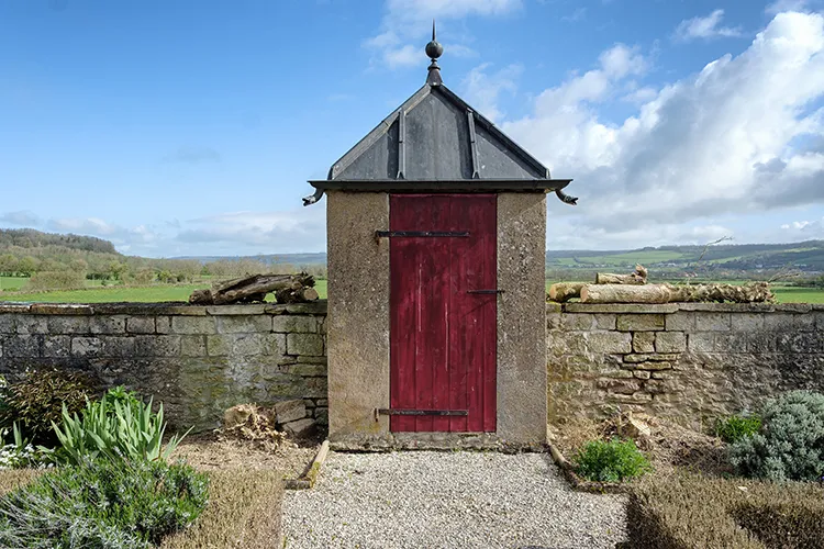
Heritage protection
Highlight the threat that renewable energy projects pose to historic sites.
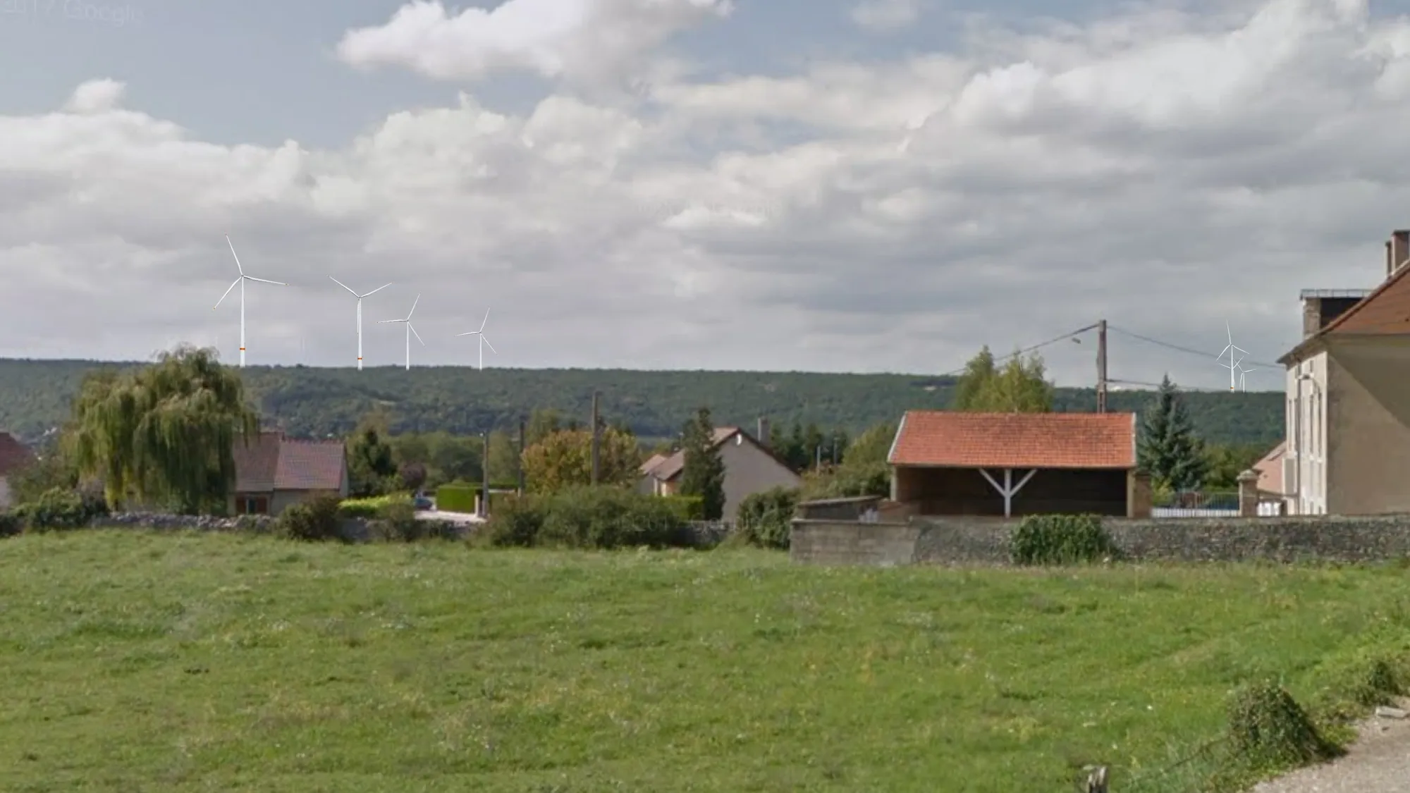
With Google Streetview images, we can create precise photomontages without having to go to the location to photograph them. This means that images can be created much faster and more cost-effectively than with other methods.
The disadvantage of Streetview is that it is mainly limited to the public road network - it cannot show viewpoints located on private property (for example, from an individual home or garden). In addition, there are still rural areas across Europe that are not yet covered by Streetview.
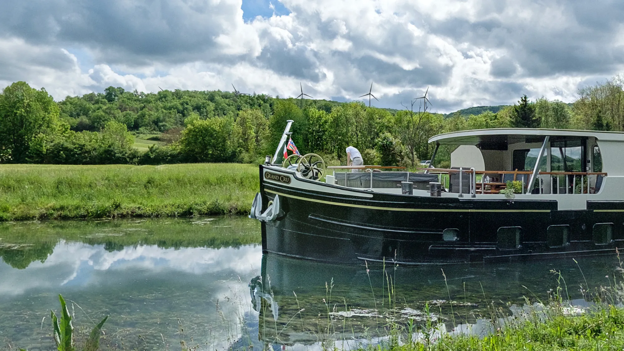
When Google Streetview images are not available, we have to create our own 360° panoramic photographs which are uploaded into EnergyPlanner software.
This is often the only way to show the impact of a development on historic sites or areas that are away from the road network such as the Burgundy canal (see left)
The movement of wind turbine blades is a critically important part of the visual experience of a wind energy project because the movement of objects in the landscape increases their visibility.
Using Streetview imagery or our own photography, we can show different project layouts and different sizes and models of wind turbines. With video, we can pan around a site and show the movement of the turbine blades and the effect of changes in wind direction and speed. We can even link sites together to create a photorealistic walkthrough around a development project.
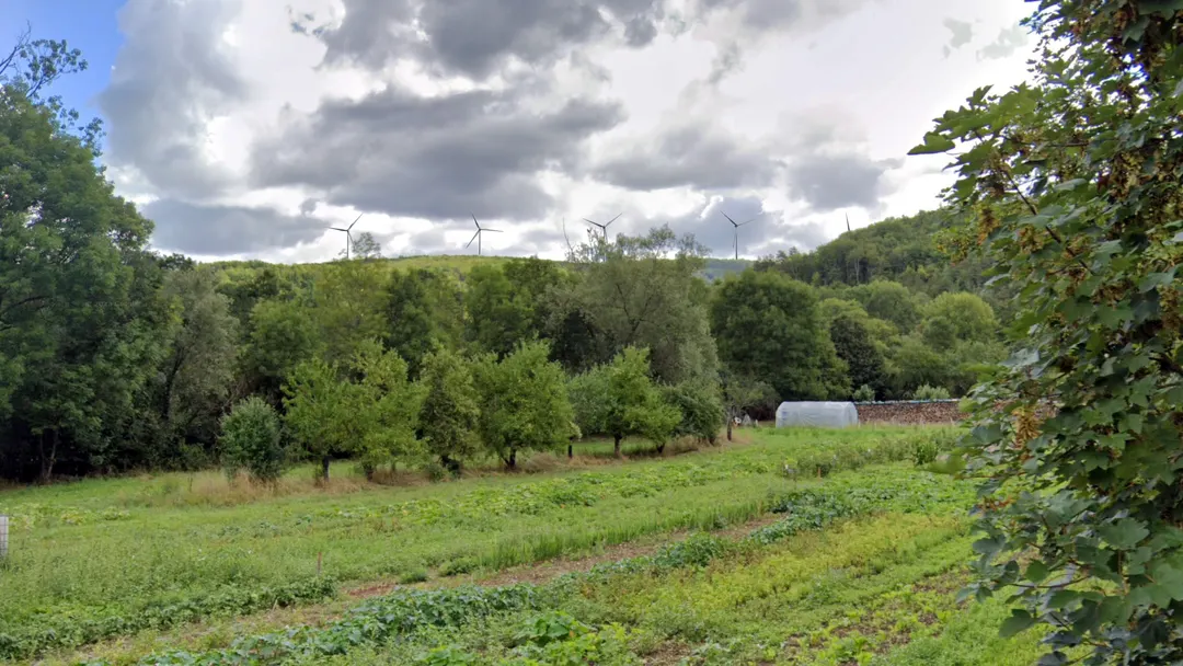
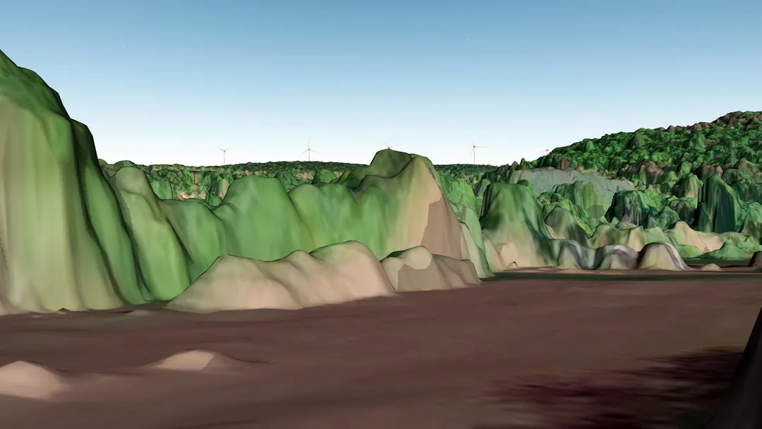
By using a high-resolution digital surface model that models the effect of elevation (buildings, trees, etc.), we can quickly and accurately demonstrate the impact of a renewable energy project from almost any point in a virtual world.
Our 3D simulations use a 1m resolution model from the French Institut National de l’Information Géographique (IGN) whose accuracy is visible in the image above.
Highlight the threat that renewable energy projects pose to historic sites.
Provide independent visual evidence to support legal action.
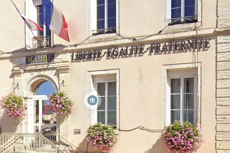
Show the true impact of a project rather than trusting developers to provide a complete and accurate picture.